
 |
 |
||
 |
An overview of the application. The orthophotos of the Earth (NASA Blue Marble) are projected onto the geometric model of the planet. An additional layer displaying the state of the clouds (in real time) is also visible. |
||
 |
 |
||
|
|
||
 |
High-level orthophotos are projected onto the geometric model of Sardinia Island (Italy). |
||
|
|
||
|
|
||
 |
The user can choose layers to be displayed onto the terrain model from the menu on the left. |
||
|
|
||
|
|
||
 |
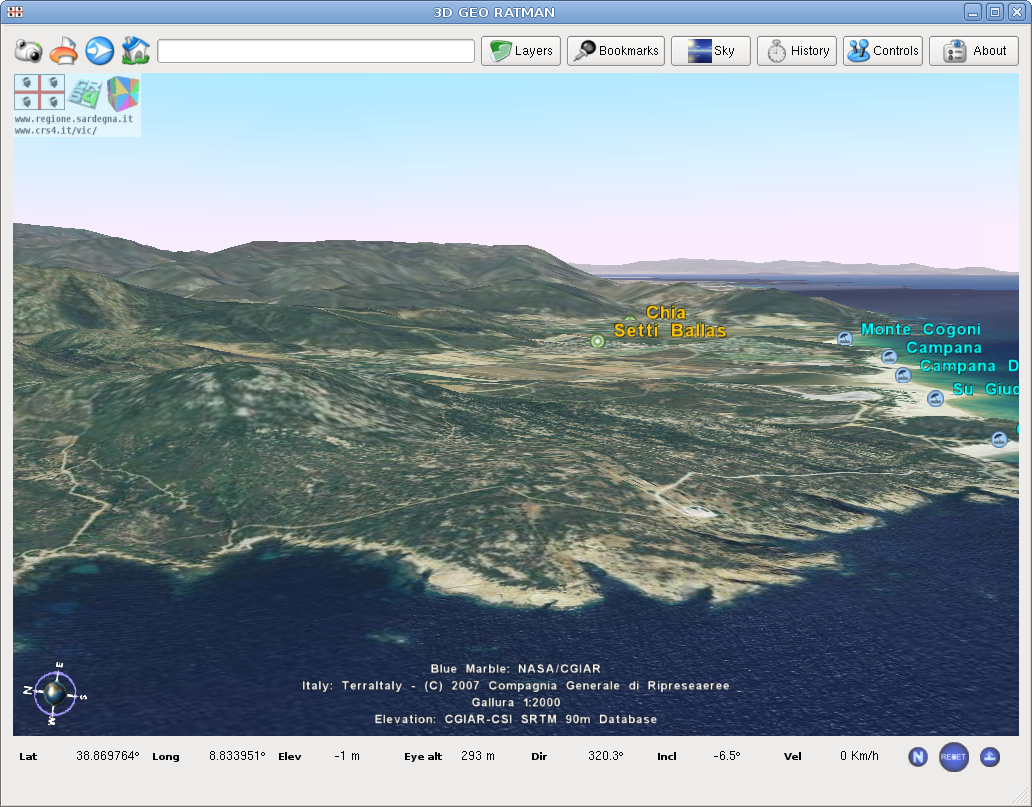
An overall view of the RATMAN GUI. |
||
|
|
||
|
|
||
 |
RATMAN The name of the Points-of-interst (POI) are requested via the Internet to some Web Feature Servers (WFS) and displayed onto the terrain model. |
||
|
|
||
|
|
||
 |
The RATMAN rendering includes effects of sky conditions (sun elevations, air turbidity, depth of field). |
||
|
|
||
|
|
||
 |
Meteorological data can be accessed via RATMAN. This is also an example of how to implement code for displaying real-time information using the RATMAN framework. |
||
|
|
||
|
|
||
 |
A simple WFS search engine is implemented in RATMAN. The user can type a location name in the field at the top of the GUI. All the matching locations are presented in a pop-up menu. |
||
|
|
||