|
|

|
Rapidly Adaptive Terrain Models Available on the Net
RATMAN is a real-time terrain rendering framework able to asynchronously access terrain information from remote servers. It consists of a high performance portable rendering library used as a rendering engine, and of a simple networked viewer integrated with many different data sources.
The terrain rendering technology behind RATMAN is based on a compressed multiresolution representation based on the BDAM (Batched Dynamic Adaptive Meshes) continuous level-of-detail framework. The structure combines the aggressive compression rates of wavelet-based image representations with the ability to ensure overall geometric continuity for variable resolution views of planar and spherical terrains with no need for run-time stitching. In RATMAN, the implementation has been simplified to ensure execution even on very low-end graphics platforms.
The overall system has been used in a number of large scale
projects, including the
 internet geoviewer, which daily serves tens of thousands of clients.
RATMAN may be used under the terms of the amended GNU General Public License as published by the Free Software Foundation and appearing in the file LICENSE included in the software distribution.
Installation instructions are in the file INSTALL. Successful installation results in a library usable for development, as well as in a full-fledged open source geoviewing client. End users can compile and use the RATMAN viewer following the installation istructions. Developer documentation is minimal, and mostly consists in source code documentation.
RATMAN was developed by Enrico Gobbetti, Fabio Marton, Fabio Bettio, and Giovanni Pintore of the CRS4 Visual Computing Group
 |
Links |
 | |
|
|
Download RATMAN! v 2.1.0 - 26 Nov 2009
Direct links: [linux] |
||
|
|
Bug Tracker & SVN server Tracking & version control system for RATMAN software development are now available for authorized users. SVN server: https://ratman.svn.sourceforge.net/svnroot/ratman (write permissions only for authorized users) |
||
 |
Remember that RATMAN is citeware: if you use it then you should always cite RATMAN
especially in websites,
scientific papers, books, manuals, etc.
How to cite . |
||
 |
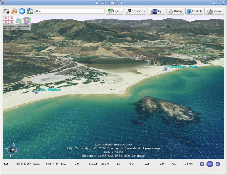
See a few
screenshots of the
visual effects
featured in RATMAN. |
||

|
The
internet geoviewer by Autonomous Region of Sardinia, Italy.
|
||
 |
 | ||
